| |  | | | |
|---|
 | | |  | | |
| | |  | | |
| | |  | | |
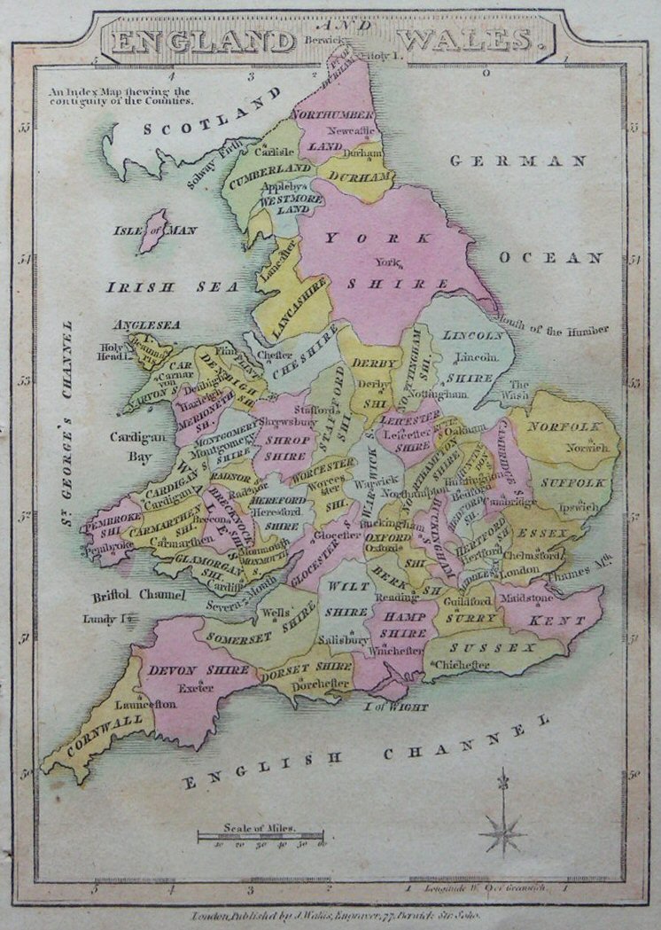
 | | | 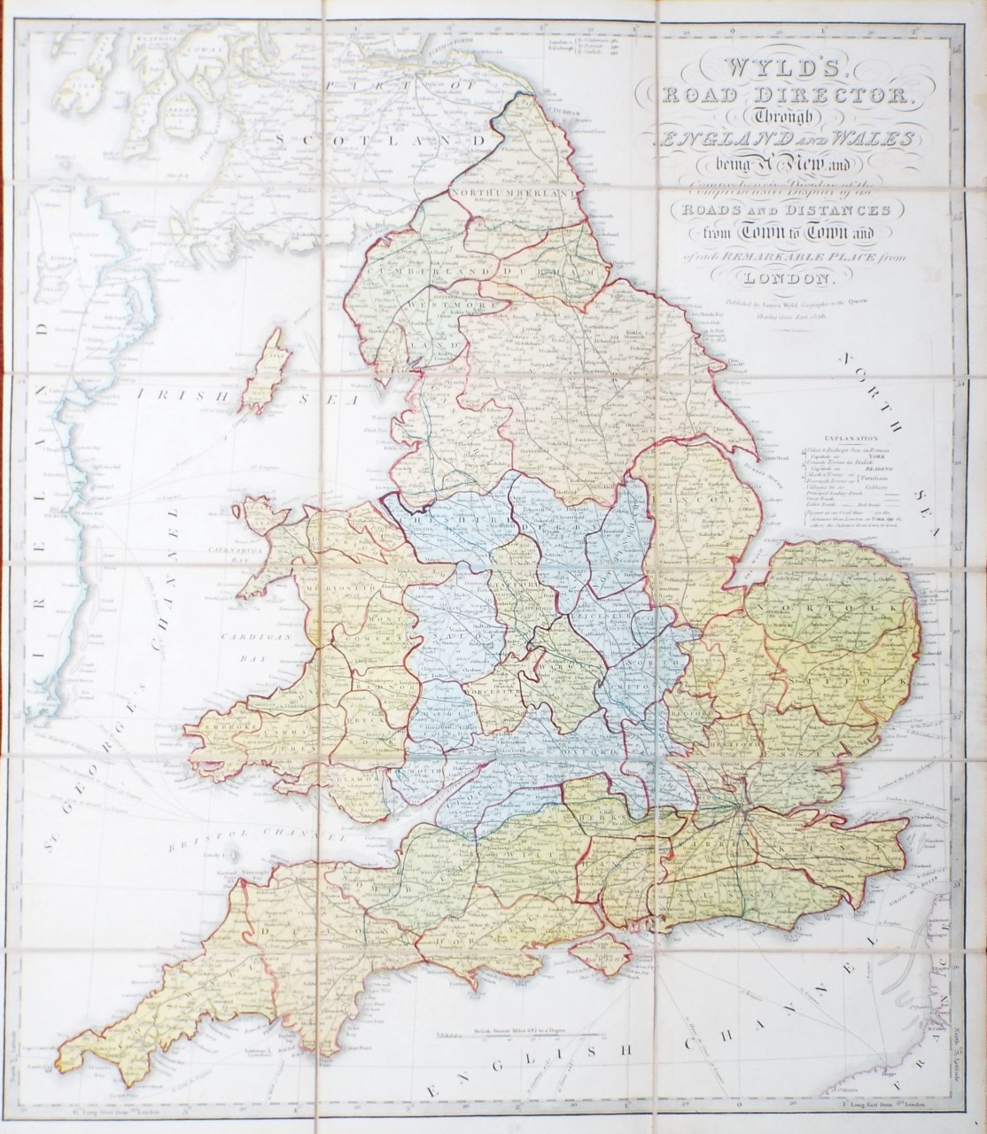 | Wyld's Road Director, Through England and Wales being a New and Comprehensive Display of the Roads and Distances from Town to Town and of each Remarkable Place from London.
Ref: P/30755
Region: British Isles
Type: Copper
Publisher: James Wyld
Date: 1838
 |
| |
| | |  | | |
| | |  | | |
| | |  | | |
| | |  | | |
| | |  | | |
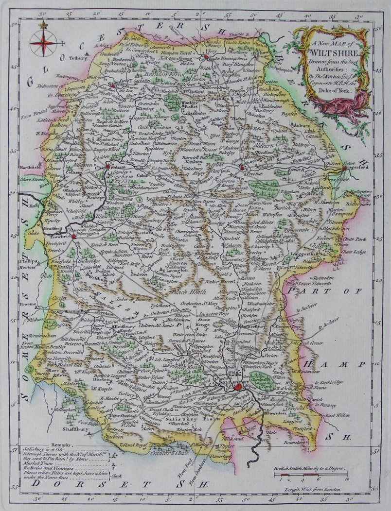
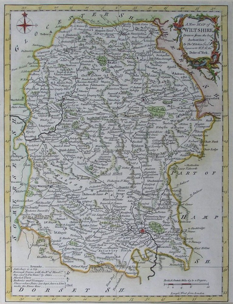
| | | 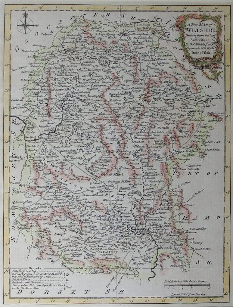 | A New Map of Wiltshire Drawn from the Best Authorities
Ref: P/8165
Region: Wiltshire
Type: Copper
Date: 1764
|
| |